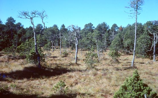
To estimate the emissions of organic soils we need to know their areal extent and how they are managed. A reference map of the extent of current organic soils was created by compiling evidence of the existence of organic soils from soil maps, habitat maps, bog inventories and historic maps and texts. The remaining organic-soil surface is estimated at around 28,000 ha, approx. three-quarters of which is used for forestry or agriculture.
© ETH-Bibliothek Zürich, Bildarchiv / Fotograf: Gautschi, Hans-Peter
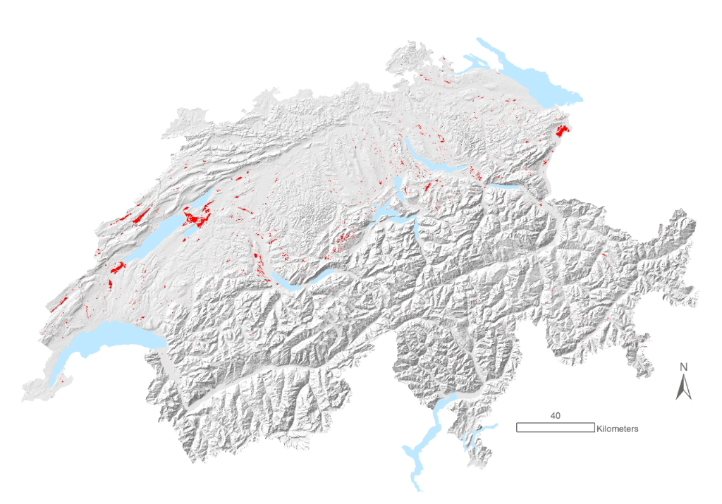
Hillshade and lakes © Swisstopo
This map is used to calculate the emissions of organic soils for the Swiss Greenhouse Gas Inventory. This map needs to be updated, since the continual mapping of habitats and soils provides new information on the extent of organic soils.
Carbon stocks in Switzerland’s organic soils are estimated at around 32.4 million tonnes. This figure is, however, associated with (unknown) uncertainties, as it was calculated using the information on area, peat-layer thickness and carbon density, which are themselves estimated values.
Contact