The ‘Earth Observation of Agroecosystems’ team at Agroscope contributes to the improved sustainability of our land-management practices by providing essential information for targeted decision-making.
Our vision is to acquire a holistic understanding of our agroecosystems in order to improve the sustainability of our land management practices – whether through optimised resource utilisation, more-targeted management measures or the identification of crop varieties and plant species adapted to local conditions.
Approach
We use local-to-continental-scale Earth Observation (EO) technology with a focus on drones for ecophysiological experiments and satellites for continental-scale monitoring. On our Agroecosystem Earth Observation Platform (AEOP) we combine remotely sensed data with environmental (e.g. weather, topography, soil) and in-situ data. We interpret these data streams using mechanistic models based on ecophysiological process understanding, state-of-the-art machine learning and expert knowledge from the domains of EO, ecology and agriculture. The AEOP is powered by our open-source Earth Observation data-abstraction library EOdal.
More information on the work of the ‘Earth Observation of Agroecosystems’ team can be found here: https://www.eoa-team.net/
Site-adapted fertilisation and precision farming
Site-appropriate fertilisation projects use our agroecosystem monitoring platform to optimise fertiliser application, thereby enhancing nutrient-use efficiency and reducing losses to the environment. For this, we develop standards and usage guidelines and test them under practical conditions to promote the application of remote-sensing methods in practice.
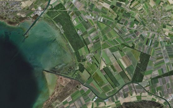
Environmental assessment
Remote-sensing methods can also be used in environmental assessment. Drones and satellite imagery, for example, enable regional and national information collection, respectively. We develop the evaluation methodology (algorithms) for various remote-sensing products, inter alia to detect anomalies in the field (diseases and nutrient problems), quantify stand characteristics (cover and biomass), or derive spatial information (land-use classification and fertiliser-application maps).
Further Information
Contact