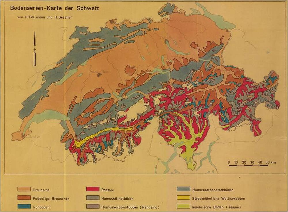
The soil data inventory of Agroscope is part of the National Soil Information System NABODAT, and thus valuable point data from more than 10'000 soil profile records are available. The Swiss Soil Mapping Catalogue illustrates the legacy soil data for the interested public; the catalogue contains a spatial overview of all sites in Switzerland at which soils have been mapped. The Swiss Soil Dataset provides access to the profile data from the soil data archive and more data managed in NABODAT released for the public.
The processing of the soil profile point data of Agroscope was promoted by the project Soil Information Switzerland (BI-CH) of the Swiss Soil Science Society (BGS); the objective was to secure and utilize the soil profile data of past analogue records since 2001. This BGS project included the development of concepts for a standardised processing of soil point data and the development of basic knowledge, data models and technical tools such as, for example, the profile migration tool ‘Migraprofile’.


