Project Number:
18.16.19.06.03
Project Title:
Recording and Evaluating Agricultural Landscape Services
Strategic Research Field:
Biodiversity

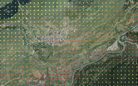
A multifunctional agricultural sector is responsible inter alia for keeping the landscape open, and for contributing to its attractive appearance. Both services are compensated by direct payments. The present project clarifies
The project also examines whether a survey of the population on the scenic quality of the landscape used in a FOEN landscape monitoring programme (LABES) would be suitable for monitoring agricultural-landscape-quality projects.
Project Number:
18.16.19.06.03
Project Title:
Recording and Evaluating Agricultural Landscape Services
Strategic Research Field:
Biodiversity