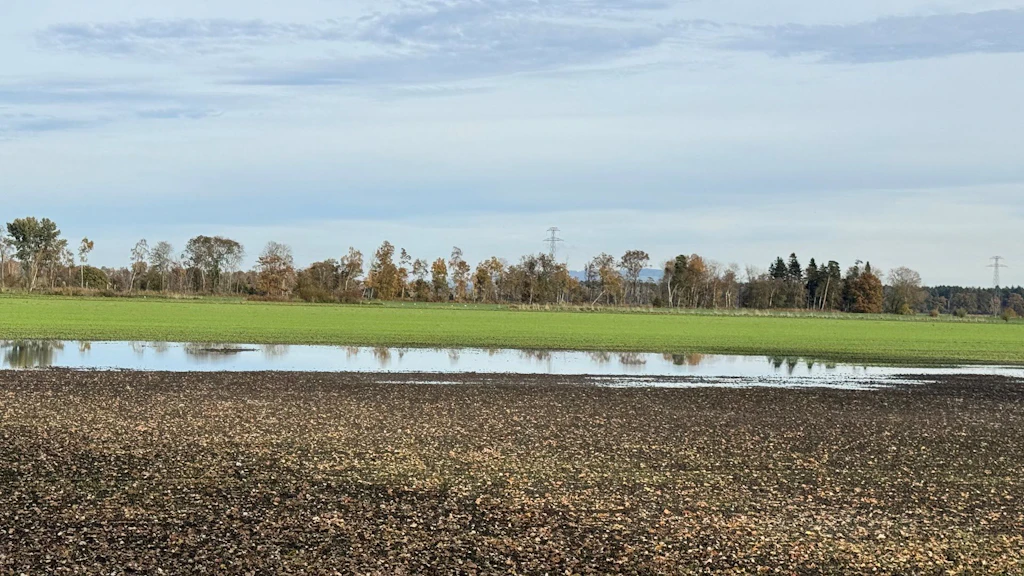
Decision-making Tool for Wet Arable Land Using Cantonal Geodata
Agroscope has expanded the decision-making tool for wet arable land: the QGIS tool now directly incorporates the latest cantonal geodata, with the evaluation of wet arable land thereby gaining in simplicity, efficiency and comparability.