A habitat survey comprises the following steps:
Habitat type
Identification of the habitat type provides initial general information on species community and the range of species diversity at a given location.
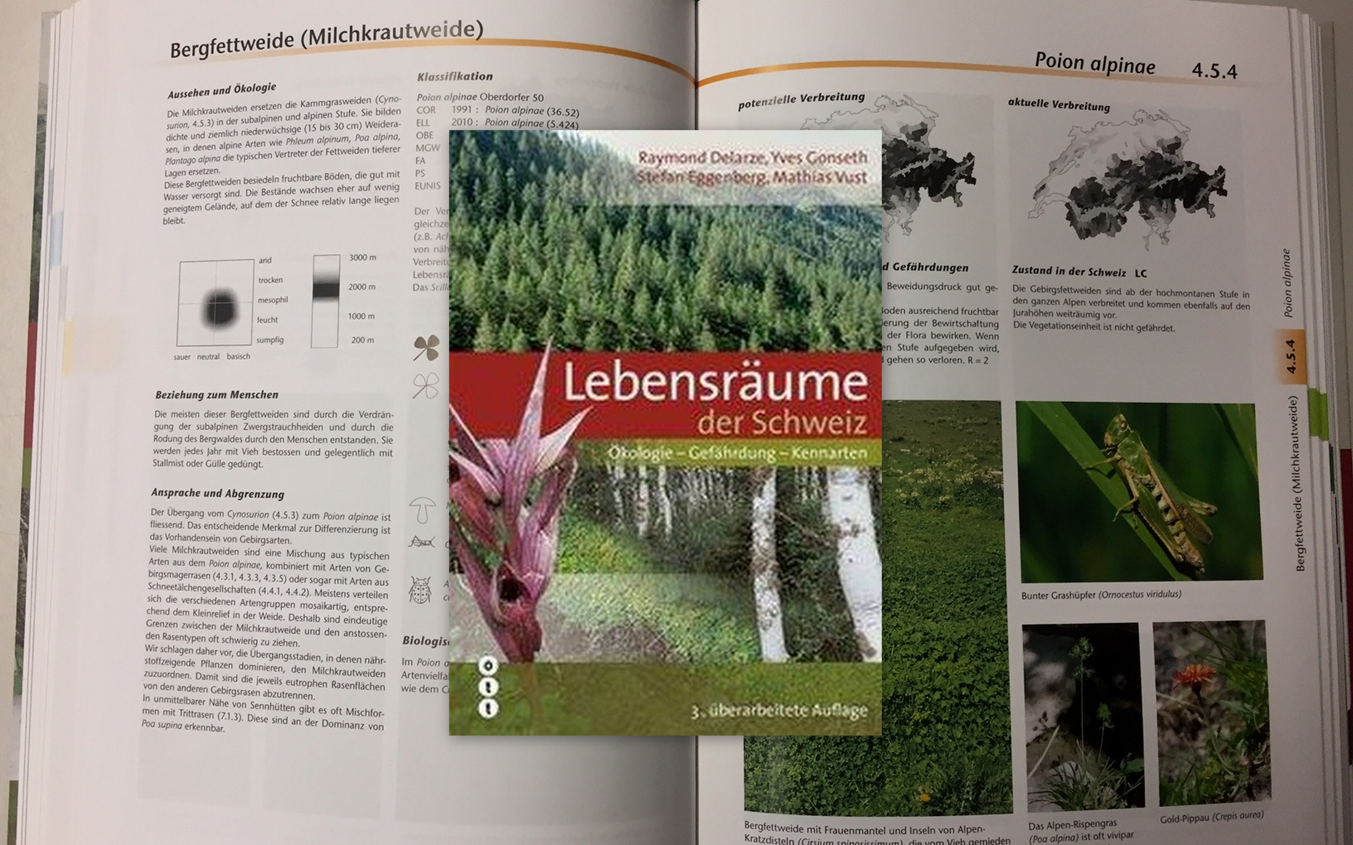
The habitats are defined according to the existing habitat typologies of Delarze, Gonseth, Eggenberg & Vust, whose work Lebensräume der Schweiz (2015) has become a standard in Switzerland.
Eighty-nine habitat types of the open agricultural landscape are used in ALL-EMA. A botanical key for defining these habitat types was developed in partnership with Hintermann & Weber AG and additional experts. A circular area of 10m2 is used to identify the habitat type.
Habitat-type species
Within a habitat type, considerable differences in the expression of the typical species community and species diversity can occur in different survey areas. In order to illustrate this variability, an individual list of 25 plant species was compiled in cooperation with experts for nearly all habitat types. Using this list, an assessment of the expression of the species diversity typical of the habitat can be made, with no need for a full vegetation survey.
Structures and neophytes
Structures of the agricultural landscape such as piles of branches, clearance cairns and small water bodies as well as neophytes on the Black List are recorded on an extended circular area of 200m2. The choice of structural elements is based on experience from national programmes such as the Inventory of Dry Grasslands and Pastures, land-use statistics, the Direct Payment Ordinance directives concerning extensively-managed meadows, and expert knowledge.